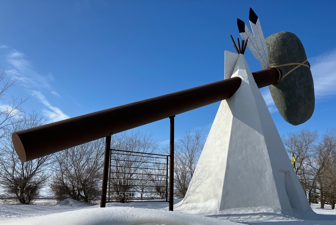

TOMAHAWK PARK: PART 2 (OF MANY)
While the Cut Knife Rodeo Tomahawk Association was being formed, and tourism opportunities researched and discussed, the community was also fundraising for a building to house Clayton McLain’s collections. In July 1969, the Cut Knife Odd Fellows Lodge sponsored a Walkathon, one of many efforts carried out over the next few years, that led to the Clayton McLain Memorial Museum opening in 1971 on the Canada Day weekend.
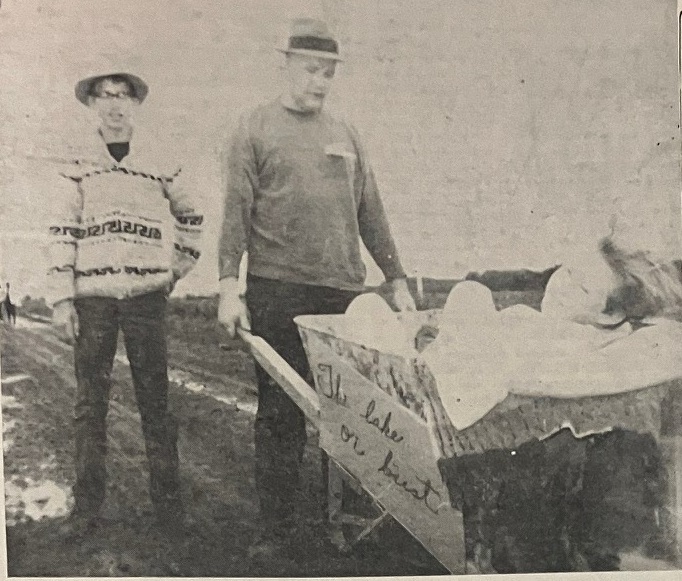
In the face of an early morning downpour, muddy roads and threatening skies, 47 participants turned out to compete in the walkathon from Cut Knife to Atton’s Lake, a distance of 13 miles on July 6. The proceeds will initiate a fund to move the Ovenstown School from Cloan to Cut Knife.
It is a project of the Cut Knife Odd Fellows Lodge to have a district Museum to house the collection of mementoes of early life and settlement in the Cut Knife and Riding Hills, collected by the late Clayton McLain. The Ovenstown School, itself a fitting reminder of the earliest days of settlement in the Rockhaven – Cloan district and in later years serving the congregations of the United Church, was donated to house the exhibits. The site in the park area on the west side of town has been donated by the town, and will make an admirable setting for such a building…
A total of $1679.50 was raised in pledges…
~ from the Highway 40 Courier: Thursday, July 10, 1969 (page 5)
Don’t miss an installment of this local story. Click the FOLLOW button in the right side bar. Then enter your email address to receive post notifications.
To be continued…
~ Debbie M.